Home
Weather Dublin
WeatherRadar
RainfallRadar
TemperatureRadar
WindRadar
LightningRadar
Weather News
Editor's Pick
Discover the app
Weather widget
Contact us
Apps
    Home / Editor's Pick /

    Your weather - Your shots: Calmer conditions catch the eye

12:00
1 February 2026

Your weather - Your shots
Calmer conditions catch the eye

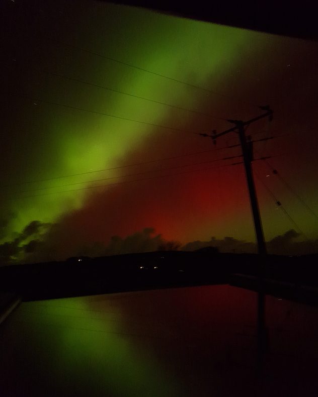
Green aurora bands stretching across the night sky with a red glow beneath, crossed by power lines and a silhouetted utility pole above a dark horizon.
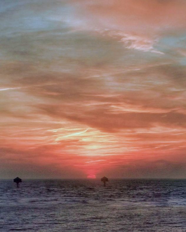
Sun setting over the sea with layered clouds glowing red, orange, and pale blue, dark water in the foreground, and small navigation markers silhouetted near the horizon.
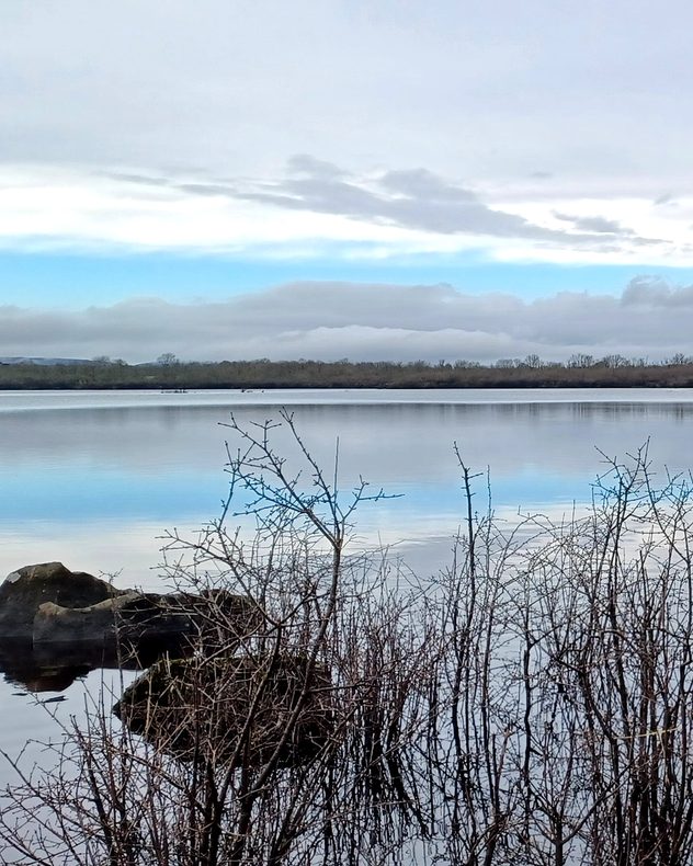
Still lake reflecting a pale winter sky with layered clouds, bare shrubs and rocks in the foreground, and a low tree line along the far shore.
Elevated view of a coastal seafront with a formal park and pathways in the foreground, terraced houses lining the road to the right, light traffic, birds in the sky, and broken cloud with sunlight over the sea.
1/4
Last week's aurora reached the skies of Penzance, Cornwall. - © Lynda Colley

Storm Chandra delivered rain and gales, plus snow in the north, but it was the calmer conditions that caught the eye.

Have pictures or videos to share? Tap the image icon in the top-right corner of the article, or go direct to the UK or Irish uploaders.

Weather & Radar editorial team
More on the topic
UV levels peak with the heat today. Latest heatwave. . . Wednesday 29 July 2026
Split graphic showing a temperature map of England and eastern Ireland with temperatures reaching 33°C near London, 32°C in Norwich, and 29°C around Birmingham on the left, alongside a person applying sunscreen with a UV icon on the right.
Wednesday 29 July 2026

Latest heatwave

UV levels peak with the heat today
Fourth heatwave of the year. Peaking Wednesday. . . Tuesday 28 July 2026
Temperature map of England and Wales on Wednesday 29.07 showing widespread hot conditions, with temperatures reaching 33°C near Cambridge, 32°C around London, Norwich, and Southend-on-Sea, and a large heat warning symbol highlighting elevated heat risk.
Tuesday 28 July 2026

Peaking Wednesday

Fourth heatwave of the year
Icy spells in the Southern Hemisphere. Snow in the Andes. . . Tuesday 28 July 2026
A composite image showing a temperature radar map of South America and a snow-covered town in Chile. The winter cold is bringing heavy snowfall to the Andes and, in some areas, snow down to lower altitudes.
Tuesday 28 July 2026

Snow in the Andes

Icy spells in the Southern Hemisphere
All weather news
This might also interest you
Storm Chandra makes impact. Severe gales & heavy rain. . . Tuesday 27 January 2026
Split image showing strong winds over the UK on a forecast map and widespread rain and snow on a weather radar map.
Tuesday 27 January 2026

Severe gales & heavy rain

Storm Chandra makes impact
Historic Storm Éowyn arrives. On this day.... . . Saturday 24 January 2026
Split image showing a person in a yellow jacket struggling against strong winds and heavy rain on a street at night on the left, and an Irish wind forecast map on the right with red and purple shading, gusts up to 75 mph, and a wind warning icon, divided by a curved white line.
Saturday 24 January 2026

On this day...

Historic Storm Éowyn arrives
Long-term trends need a pinch of salt. 40 °C in July?. . . Tuesday 30 June 2026
Temperature radar of 2022 heatwave where the all-time temperature record in the UK was set. Warning symbol overlain.
Tuesday 30 June 2026

40 °C in July?

Long-term trends need a pinch of salt
All articles
Weather & Radar

Weather & Radar is also available on

Google Play StoreApp Store

Company

Contact us Privacy Policy Legal info Accessibility statement

Services

Uploader

Socials

facebooktwitteryouTubelinkList