Record breakingTemperatures soar to 38C
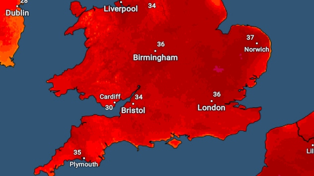
| Location | Record T (C) | Today's T (C) |
|---|---|---|
| England | 38.7 | 38.1 |
| Wales | 35.2 | 37.1 |
| Scotland | 32.9 | 31.3 |
| N Ireland | 31.3 | 31.1 |
| ROI | 33.3 | 33.0 |
| Location | Record T (C) | Today's T (C) |
|---|---|---|
| England | 38.7 | 38.1 |
| Wales | 35.2 | 37.1 |
| Scotland | 32.9 | 31.3 |
| N Ireland | 31.3 | 31.1 |
| ROI | 33.3 | 33.0 |


