Home / Editor's Pick /

How to: Twilight photography

06:00
30 January 2023

How to
Twilight photography

twilight photography

We recently shared why twilight produces such a magnificent explosion of colours across our sky, but do you know how to capture it?

Our own Weather Photographer shares top tips

Light and colour are among the most important elements in photography. That's why the colours of twilight during sunrises and sunsets are a particularly popular subject. "Because a colourful sky enhances almost every photo.

The warm and shallow light not only enhances the contrasts, it usually also creates an exceptionally beautiful mood that makes everyone feel good," explains Dennis Oswald, Meteorologist and Weather Photographer at WetterOnline, the company behind the Weather & Radar app.

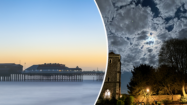
Even the so-called blue hour, the time before sunrise and after sunset, can trigger an explosion of colours in the sky. "Make sure you expose your shot correctly during this time.

The lighting conditions are often difficult for the cameras to capture because of the contrast between the bright sky and the dark foreground," says Dennis Oswald.

Useful equipment

  • Wide-angle lens
  • Telephoto lens
  • Polarising filter (to enhance the contrast of colours)
  • Graduated filter (to even out light contrasts), if available
  • Tripod

Graduated filters have a darker upper part and a transparent lower part. This compensates for the strong light contrast between the bright sky and the dark foreground.

Correct exposure therefore becomes much easier. They are available in various strengths both for plugging in, in which case a corresponding filter holder is required, and for screwing onto the lens.

If you have any luck from our tips, feel free to share your shots via our uploader for us to feature!

Weather & Radar editorial team
More on the topic
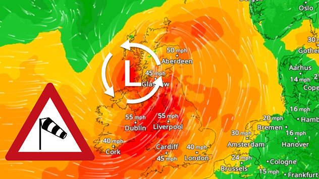
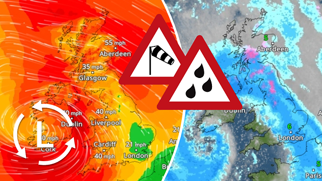
plit weather map showing rain and wind warnings across the UK and Ireland. The left side displays radar imagery with widespread rain, especially over Ireland and western Britain, and temperatures between 7°C and 14°C. The right side shows a warning map highlighting yellow wind alerts for much of western and central Britain and Ireland. A wind warning symbol appears at the centre.
Monday 10 November 2025

Stormy Tuesday

Rain and gusting winds prompt warnings
Split weather maps of the UK showing rain and temperature on the left with widespread blue rain bands and readings around 13–14°C, and wind speeds on the right with gusts up to 40 mph in Scotland, Ireland, and western England.
Monday 3 November 2025

Staying mild too

Still wet and windy to start the week
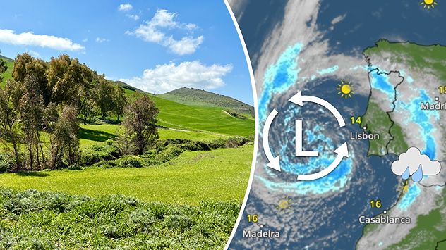
The weather map shows a tropical cyclone over the Philippines with its centre east of Manila.
Monday 10 November 2025

Super Typhoon Fung-wong

Philippines hit by second typhoon
All weather news
This might also interest you
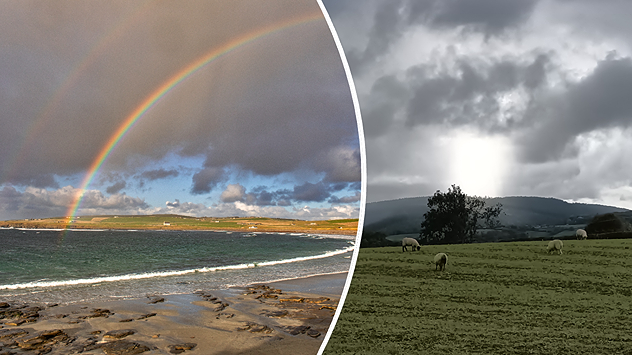
plit image showing a double rainbow over a rocky shoreline on the left and sheep grazing in a green field under stormy clouds on the right.
Sunday 2 November 2025

Your weather - Your shots

Mixed conditions on an unsettled week
Mammatus clouds
Thursday 21 August 2025

Unusual view

Mammatus clouds over Ireland
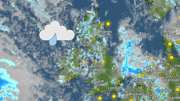
Weather map of the UK and Ireland showing scattered showers with cloudy patches across much of the region, especially around western and northern areas. Sunshine symbols appear over London, Cardiff, and parts of southern England, while temperatures range from 17°C to 18°C in most places. Areas of heavier rain are visible over the Atlantic to the west.
Friday 29 August 2025

Breakfast brief

Unsettled conditions into the weekend
All articles
Weather & Radar

www.weatherandradar.ie

facebooktwitteryouTubeContact uslinkList
Privacy Policy | Legal info | Accessibility statement