Home / Editor's Pick /

Super typhoon Fung-wong - Philippines hit by second typhoon

11:00
10 November 2025

Super Typhoon Fung-wong
Philippines hit by second typhoon

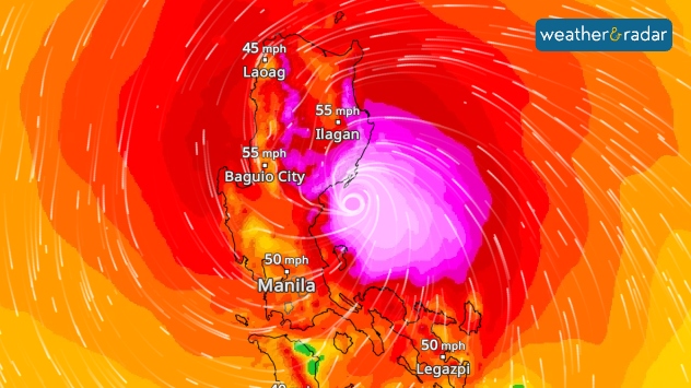
The wind radar shows the typhoon shortly before it made landfall on Sunday.The WindRadar shows the typhoon shortly before it made landfall on Sunday.

Super Typhoon Fung-wong crossed the northern Philippines on Sunday evening, bringing heavy rain and wind speeds of up to 142 miles per hour.

This resulted in flooding, landslides, power outages and, in some cases, severe damage to buildings.

What is a super typhoon?

A super typhoon is a particularly strong cyclone that corresponds to a category 4 or 5 hurricane.

At least two people have died as a result of the storms. As more than 1.4 million people were evacuated in advance, the number of fatalities is lower than feared.

Two cyclones in one week

Less than a week ago, Typhoon Kalmaegi struck the Philippines a little further south. Although Kalmaegi was weaker, the number of victims was many times higher.

Typhoon continues towards TaiwanWindRadar forecast
Michael Krucker
Ryan Hathaway
with material from dpa
More on the topic
Split weather maps of the UK showing rain and temperature on the left with widespread blue rain bands and readings around 13–14°C, and wind speeds on the right with gusts up to 40 mph in Scotland, Ireland, and western England.
Monday 3 November 2025

Staying mild too

Still wet and windy to start the week
Thursday 30 October 2025

Devastating damage

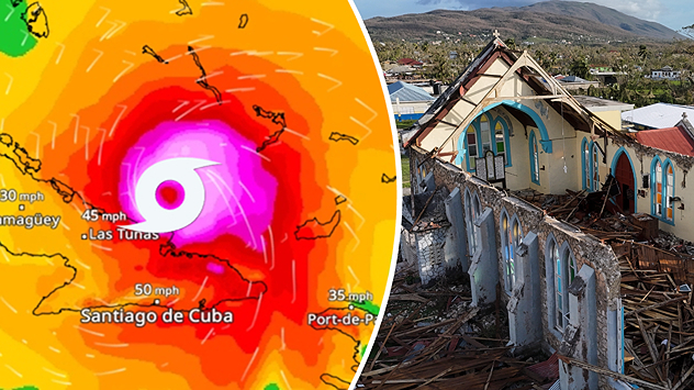
Hurricane Melissa rages in the Caribbean
full moon in the sky
Tuesday 4 November 2025

Supermoon over bonfires

Largest full moon of the year
All weather news
This might also interest you
Mammatus clouds
Thursday 21 August 2025

Unusual view

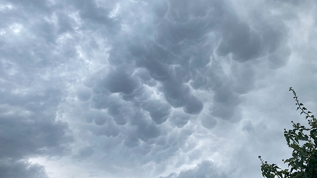
Mammatus clouds over Ireland
Friday 22 August 2025

Breakfast brief

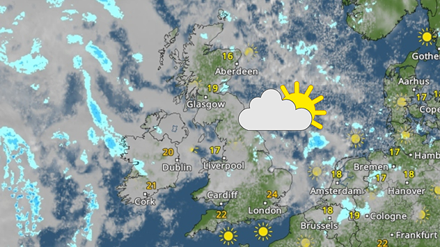
Sunny start for some, overcast later
Split weather map showing the UK and Ireland. The left side illustrates strong winds circulating around a low-pressure system, with gusts of 20–30 mph highlighted in orange and yellow. The right side shows radar imagery with widespread blue rain bands and patches of thunderstorms, especially over northern England and Scotland.
Thursday 28 August 2025

Breakfast brief

Remaining widely unsettled
All articles
Weather & Radar

www.weatherandradar.ie

facebooktwitteryouTubeContact uslinkList
Privacy Policy | Legal info | Accessibility statement