Home
Weather Dublin
WeatherRadar
RainfallRadar
TemperatureRadar
WindRadar
LightningRadar
Weather News
Editor's Pick
Discover the app
Weather widget
Contact us
Apps
    Home / Editor's Pick /

    Your weather - Your shots: 2025 as captured by you!

09:00
27 December 2025

Your weather - Your shots
2025 as captured by you!

This year saw more pictures sent in than ever, capturing the sights and weather across the UK and Ireland. Before we head into 2026, take a journey through the year as captured by you!

January to June

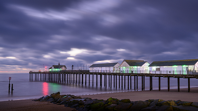
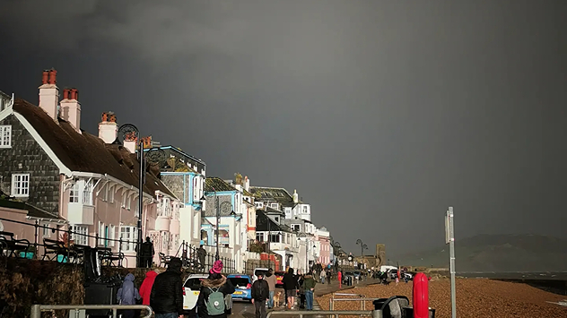
Long-exposure picture of pier with dark clouds overhead.
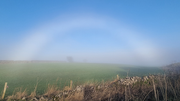
"Fogbow" pictured over a green field under blue skies in the Peak District.
Mammatus clouds
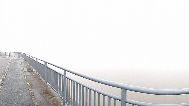
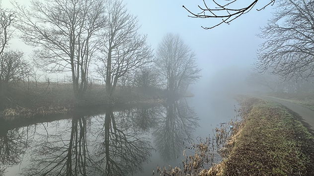
Foggy morning at canal running alongside path.
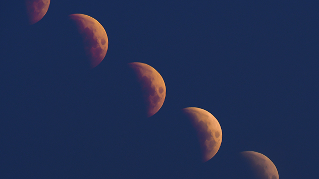
Stages of a partial lunar eclipse taken via time-lapse and stitched together.
1/13
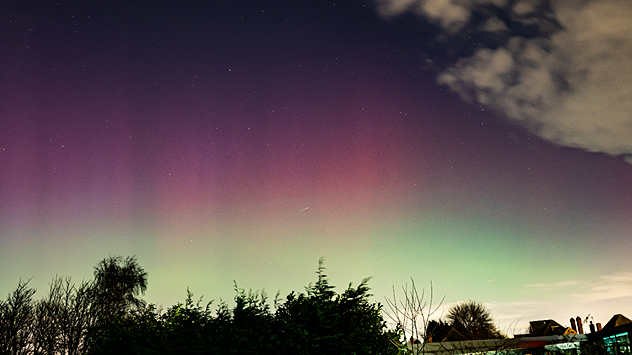
Last January, the Northern Lights descended over Solihull. - © Spencer Salter

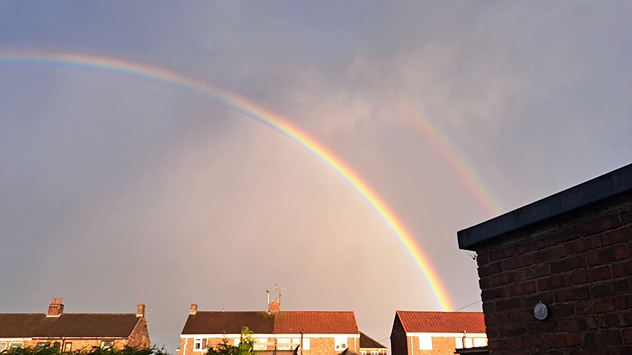
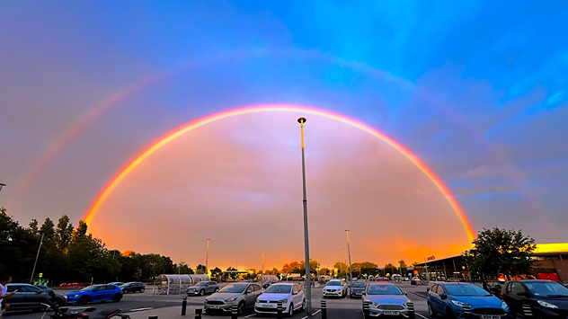
Moving into the second half of 2025, the skies above still had much to offer.

July to December

Thank you to all who took the time to send in their pictures and videos this year, keep them coming for 2026!

Get involved: Using the Uploaderread more
Weather & Radar editorial team
More on the topic
Sunset views mark the start of the month. Your weather - Your shots. . . Sunday 4 October 2026
Split image showing offshore wind turbines beneath a pink-purple sky and a fiery red-orange sunset above silhouetted rooftops.
Sunday 4 October 2026

Your weather - Your shots

Sunset views mark the start of the month
Hurricane Polo is heading for Mexico. Severe weather risk. . . Monday 28 September 2026
Wind map showing an intense tropical cyclone southwest of Baja California, with an arrow toward the peninsula and flood and strong wind warning symbols.
Monday 28 September 2026

Severe weather risk

Hurricane Polo is heading for Mexico
Weather contrasts over Europe. Low versus high. . . Tuesday 29 September 2026
A powerful low-pressure system off Iceland is clashing with a stable high-pressure system over Scandinavia. Central Europe lies between them.
Tuesday 29 September 2026

Low versus high

Weather contrasts over Europe
All weather news
This might also interest you
A frozen start to the weekend. Icy conditions. . . Friday 13 February 2026
UK temperature map dated 14.02 showing widespread subzero values in blue shading, with readings such as −4 in Glasgow, −3 in Dublin, and −2 in London, alongside a blue thermometer icon.
Friday 13 February 2026

Icy conditions

A frozen start to the weekend
Long-term trends need a pinch of salt. 40 °C in July?. . . Tuesday 30 June 2026
Temperature radar of 2022 heatwave where the all-time temperature record in the UK was set. Warning symbol overlain.
Tuesday 30 June 2026

40 °C in July?

Long-term trends need a pinch of salt
Super Typhoon Bavi threatens Taiwan. Up to 1,000 mm of rain. . Weather Videos. Wednesday 8 July 2026
The image shows an intense tropical cyclone over the western Pacific, east of Taiwan and the Philippines. The centre of the system is depicted as a light purple and white vortex with a clearly visible eye, surrounded by a ring of red and orange areas indicating the strongest wind speeds. A white arrow marks the typhoon’s predicted track towards the north-west, in the direction of Taiwan. To the west of the storm lie the Philippines, with the cities of Manila and Cebu; to the north of these lies Taiwan, with Taipei. Further west, the Chinese coast, including Hong Kong, and parts of Vietnam can be seen. The coloured wind map shows predominantly green areas outside the storm’s core, indicating significantly weaker winds. White streamlines illustrate the typhoon’s anti-clockwise circulation in the Northern Hemisphere. The highest wind speeds are concentrated around the eye of the cyclone.
Weather VideosWednesday 8 July 2026

Up to 1,000 mm of rain

Super Typhoon Bavi threatens Taiwan
All articles
Weather & Radar

Weather & Radar is also available on

Google Play StoreApp Store

Company

Contact us Privacy Policy Legal info Accessibility statement

Services

Uploader

Socials

facebooktwitteryouTubelinkList