Home
Weather Dublin
WeatherRadar
RainfallRadar
TemperatureRadar
WindRadar
LightningRadar
Weather News
Editor's Pick
Discover the app
Weather widget
Contact us
Apps
Home / Weather News /

In the wake of the storm: Storm Otto's impacts

12:00
18 February 2023

In the wake of the storm
Storm Otto's impacts

storm otto

Storm Otto barrelled to the north of the UK on Friday 17th February, but just how bad was it?

The storm was named by the Danish Meteorological Institute, due to its significantly worse impacts expected there. Especially with the timing of half-term, many were set to travel home that day.

As a result over 5000 ferry passengers were stranded with no mode of transport home in Denmark and some residents in Copenhagen were told to evacuate.

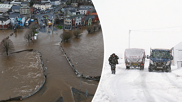
In the UK meanwhile, large trees fell and blocked railway lines, bridges were closed and buildings were reported damaged. Being half-term, fortunately schools were already closed on the Friday.

Settings for external content

Privacy policy

The highest wind gusts through Storm Otto have been in the north of the UK.

Here are the figures:

  • 120 mph in Cairngorm - however this is a very exposed high altitude mountain location
  • 84 mph at Inverbervie, Aberdeenshire
  • 75 mph at Emley Moor, West Yorkshire
  • 53 mph at Capel Curig, North Wales
Weather & Radar editorial team
More on the topic
Split image showing a snow-covered coastal town under clear blue skies on the left, and fresh snowfall on the right with a parked car, falling snow, and muted rural background, divided by a curved white line.
Saturday 10 January 2026

Your weather - Your shots

Snowy and blustery week
Extreme temperatures of below minus 40 degrees were recorded in Lapland over the weekend. Such low temperatures are rare even there.
Tuesday 13 January 2026

Lapland ice chamber

Temperatures drop below -40 °C
On the left, a wind map shows hurricane-force winds over the English Channel. On the right, snow and strong winds hamper visibility on a road.
Friday 9 January 2026

Power failures and damage

Storm Goretti hits Europe
All weather news
This might also interest you
Wednesday 27 August 2025

Breakfast brief

Frontal system brings heavy rain
Split weather map showing the UK and Ireland. The left side illustrates strong winds circulating around a low-pressure system, with gusts of 20–30 mph highlighted in orange and yellow. The right side shows radar imagery with widespread blue rain bands and patches of thunderstorms, especially over northern England and Scotland.
Thursday 28 August 2025

Breakfast brief

Remaining widely unsettled
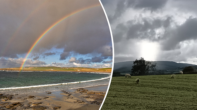
plit image showing a double rainbow over a rocky shoreline on the left and sheep grazing in a green field under stormy clouds on the right.
Sunday 2 November 2025

Your weather - Your shots

Mixed conditions on an unsettled week
All articles
Weather & Radar
IE
Clima & Radar Brasil
Hava durumu & Radar Türkiye
Időjárás és Radar Magyarország
Καιρός & Ραντάρ Ελλάδα
Météo & Radar Belgique (Français)
Météo & Radar France
Meteo & Radar Italia
Meteo & Radar România
Météo & Radar Suisse (Français)
Meteo & Radars Latvija
OrasOnline Lietuva
Počasí & Radar Czechia
Počasie & Radar Slovensko
Pogoda & Radar Polska
Погода & Радар Україна (українська)
Tempo & Radar Portugal
Tiempo & Radar Argentina
Tiempo & Radar España
Vejr & Radar Danmark
Vreme & Radar Slovenija
Vreme & Radar Srbija
Vrijeme & Radar Bosna
Vrijeme & Radar Crna Gora
Vrijeme & Radar Hrvatska
Време & Радар България
Времето & Радар Macedonia
Weather & Radar India (English)
Weather & Radar United Kingdom
Weather & Radar USA (English)
Weather & Radar USA (Español)
Weer & Radar België (Nederlands)
Weer & Radar Nederland

Weather & Radar is also available on

Google Play StoreApp Store

Company

Contact us Privacy Policy Legal info Accessibility statement

Services

Uploader

Socials

facebooktwitteryouTubelinkList