Home / Weather News /

Extreme drought in Europe: The worst in 500 years

12:00
15 August 2022

Extreme drought in Europe
The worst in 500 years

St James's Park, London, August 13th 2022St James's Park, London, August 13th 2022

The current drought in Europe is on track to become the worst in 500 years.

The lack of rainfall during winter and spring meant that groundwater and river levels started low this summer, with sufficient rainfall now not expected until autumn.

This, amplified by the extremely high temperatures across the continent, has led to one of the worst droughts on record, according to experts at the European Drought Observatory.

The consequences

  • Reduced river runoff and river flow, which can impact aquatic ecology
  • Run-of-river (ROR) hydroelectricity also reduced; Italy for example has seen power production levels -5039 GWh compared to normal
  • Hydropower reservoir levels affected
  • Low soil water content makes it harder for plants to extract water from the soil, leading to widespread stress on vegetation
  • Reduced crop harvest
  • Water resource management and restrictions

Several rivers drying up across Europe:
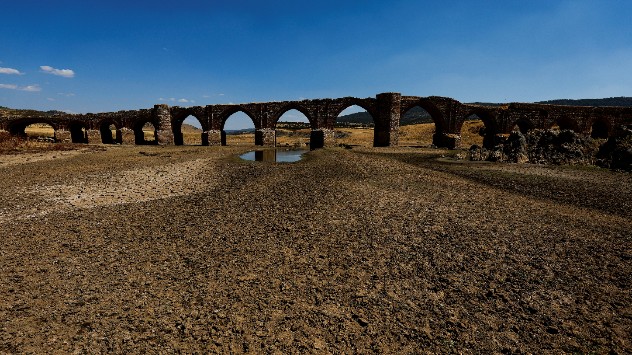
The Guadiana, SpainRiver Po, Italy, August 2022The Rhine, GermanyThe Loire, France
1/4
The Guadiana, Spain - © picture alliance

What can be done?

Unfavourable forecasts over the coming months across Europe may compromise water supply and keep competition for this resource high.

The UK Centre for Ecology and Hydrology for example, suggest that sufficient rainfall may not occur until autumn. This means water resource management will be crucial over the coming months, to ensure a sustainable supply of good quality water.

Settings for external content

Privacy policy
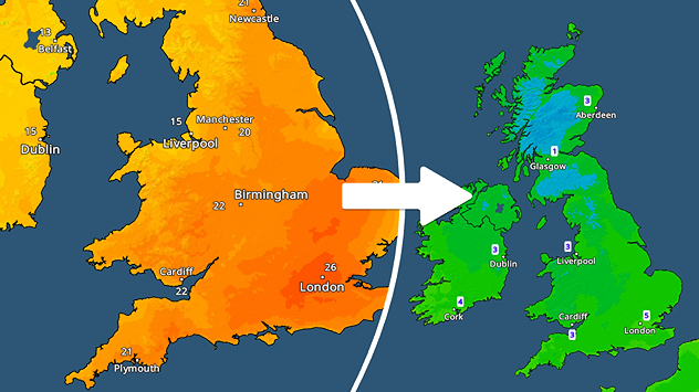
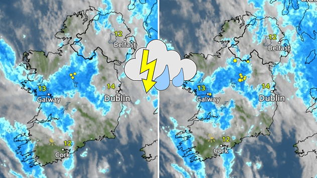
Whilst drought mitigation strategies are of utmost importance now, so is addressing the root cause of the problem: climate change and the disruption of the planet's water cycle.

Further efforts are also needed to adapt to changing weather patterns, by protecting the climate of energy supply and applying sustainable solutions in agriculture, says the EU's Joint Research Centre.

Weather & Radar editorial team
More on the topic
tornado intercept sw oklahoma
Wednesday 20 August 2025

Storm chaser's blog

On the front lines of extreme weather
Weather map showing the UK and Ireland with a band of heavy rain and showers stretching from Scotland down through Liverpool, Cardiff, and into southern England. A thunderstorm symbol is marked over north-east England. Temperatures range from 16°C in Glasgow to 21°C in London, with warmer conditions on the continent reaching 28°C in Brussels. Clearer, sunnier skies are shown over eastern England and mainland Europe.
Wednesday 27 August 2025

Front on the move

Rain pushing east, risk of thunderstorms
WindRadar forecast for Monday: Former Hurricane ERIN reaches Europe as an extratropical storm.
Friday 22 August 2025

Conversion to low

Hurricane Erin moves towards Europe
All weather news
This might also interest you
Wednesday 27 August 2025

Breakfast brief

Frontal system brings heavy rain
Mammatus clouds
Thursday 21 August 2025

Unusual view

Mammatus clouds over Ireland
Weather map showing a split in north-south conditions of the UK. Scotland sees widespread cloud cover while England and Wales have clear skies.
Friday 15 August 2025

Clouds on the move

North-south split in conditions
All articles
Weather & Radar

www.weatherandradar.ie

facebooktwitteryouTubeContact uslinkList
Privacy Policy | Legal info | Accessibility statement